 Download this guide as docx
Welcome
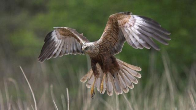
Located on the north coast of Norfolk, between the villages of Titchwell and Thornham, Titchwell Marsh is blessed with diverse habitats that include reedbeds, saltmarsh and freshwater lagoons where avocets, bearded tits and marsh harriers nest. There's also a wide sandy beach here, which offers extensive views across The Wash.
Level access
There is level access from the main entrance to:
Accessible ToiletFeeding StationShopRear Shop AccessThere is level access from the car park to:
Picnic AreaVisual
General
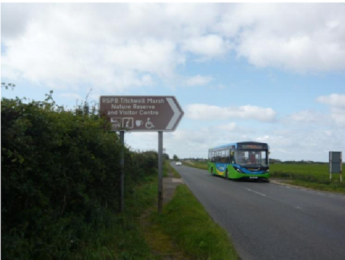
Getting here
Travel by public transport
The nearest railway is King’s Lynn station, which is 22 miles (35 km) away. There is a taxi rank at the station. If you require an accessible taxi you can book this in advance.
Travel by taxi
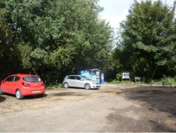
Parking
Eight Blue Badge parking spaces are provided.
For the drop-off point, follow sign for 'Deliveries'. There is a reserved space located just before the barrier.
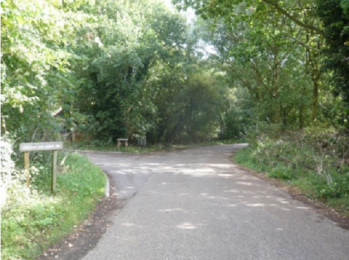
Arrival
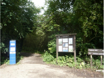
Path to main entrance
Main entrance
Getting around inside
Ticket/ information desk
Information Desk
Public toilet
Accessible Toilet

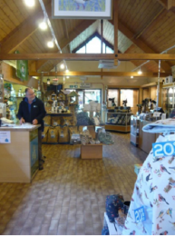
Shop
Place to eat and drink
Feeding Station
Please see RSPB 'What's in my Dish?' http://menus.whatsinmydish.co.uk/rspbgrouprecipes?
Getting around outside
West Bank Path
The path is flat with a surface of rolled sand and gravel. The majority of this trail is flat but there is a short, steep slope over the sea defence bank near the beach. The path is very rough after the bank, and there is a steep, rough dirt track leading from the main path to the sand dunes.
Designated Walking Trail
Fen Trail
There is a firm, flat gravel path leading to a section of boardwalk. The boardwalk has a non-slip covering and kickboards along the edge.
Designated Walking Trail
Meadow Trail
Boardwalk with a non-slip covering and kickboards along the edge.
Designated Walking Trail
East Trail
Island Hide
Fen Hide
Parrinder Hide
Beach
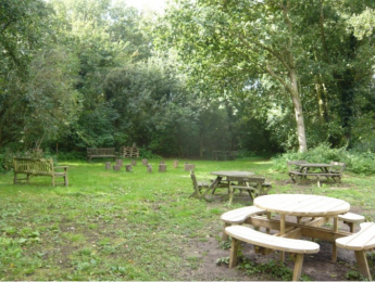
Picnic Area
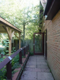
Rear Shop Access
Customer care support
Emergency evacuation procedures
Customer care support